Learn Map and Compass Navigation
From $30

At a Glance
$30+
Basics in a day, proficiency takes practice
Year-round
About This Experience
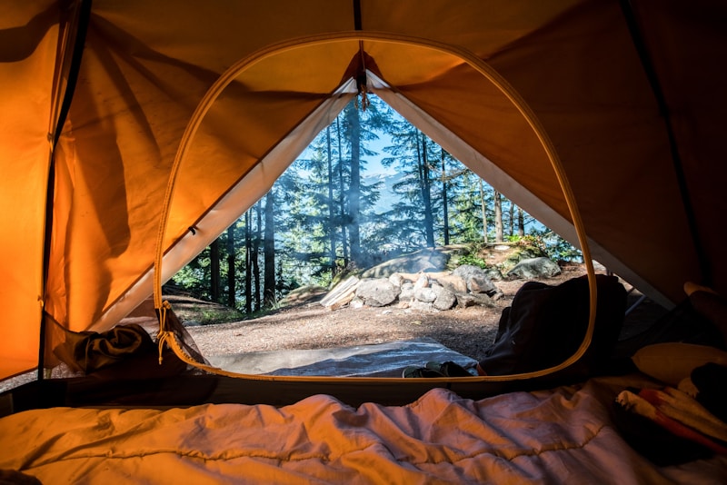
Map and compass navigation connects modern adventurers to the exploration traditions that opened the world before GPS satellites existed, while providing critical backup skills for the wilderness situations where technology fails or batteries die. The ability to determine your location, plan routes, and navigate unfamiliar terrain using paper and magnetic needle represents fundamental outdoor competence that electronic devices cannot fully replace. The topographic map reading that underlies land navigation encodes three-dimensional terrain into two-dimensional representation through contour lines, symbols, and colors. Learning to visualize landscapes from contour patterns—steep slopes from closely spaced lines, ridges from V-patterns pointing uphill, valleys from V-patterns pointing downhill—transforms maps from abstract documents into mental terrain models. This visualization skill, once developed, makes navigation intuitive rather than mechanical. The compass fundamentals include understanding magnetic declination (the offset between magnetic north and true north, which varies by location), taking bearings (measuring direction to features), and following bearings (walking in specified directions). The combination of bearing skills with map reading enables triangulation (determining location from multiple landmarks), route planning along specific bearings, and the confidence to move through unfamiliar terrain without visible trails. The orienteering sport provides structured practice that develops navigation skills through competition or recreation. Orienteering courses place checkpoints throughout terrain; participants use map and compass to find checkpoints in optimal sequence. The time pressure forces rapid decision-making that builds skills faster than leisurely hiking. Local orienteering clubs offer events accessible to beginners while providing progression toward competitive levels. The terrain association technique matches visible features to map symbols for continuous location confirmation. Rather than following precise compass bearings, terrain association uses features—streams, ridgelines, clearings, road crossings—to confirm position throughout travel. The technique works even with approximate maps and degraded compasses; developing it provides navigation capability that survives equipment problems. The pace counting adds precision to distance estimation through calibrated step counting. After determining your personal pace count per 100 meters on various terrain types, you can estimate distances traveled by counting steps. Combined with bearing following, pace counting enables confident movement through featureless terrain where terrain association fails. The technique requires practice to maintain counts accurately while navigating difficult ground. The GPS integration represents modern navigation reality rather than contradiction to traditional skills. GPS provides precise location; map and compass provide context and backup. Skilled navigators use both: GPS for confirmation and precision, map for planning and terrain understanding, compass for bearing and backup when GPS fails. Depending entirely on either approach creates vulnerabilities that competent navigation avoids. The night navigation extends daylight skills into darkness through modified techniques. The reduced visibility limits terrain association but enables star navigation; the difficulty of reading maps in darkness requires stronger pre-planned routes; the disorientation that darkness creates demands more frequent position checks. Practicing night navigation in familiar terrain before attempting it in wilderness develops confidence that prevents panic when light fails.
Cost Breakdown
Estimated costs can vary based on location, season, and personal choices.
Budget
Basic experience, economical choices
Mid-Range
Comfortable experience, quality choices
Luxury
Premium experience, best options
Difficulty & Requirements
Accessible for most people with basic planning.
Physical Requirements
Hiking ability
Prerequisites
- Compass
- Topographic maps
Tips & Advice
Take an orienteering course
Practice in familiar terrain first
Orienteering clubs make it a sport
Topo maps show more than you realize
GPS is a tool, not a replacement for skills
Related Topics
Community Discussion
Ask questions, share tips, or read experiences from others.
View Discussions Start DiscussionShare This Experience
Quick Summary
- Category Learning
- Starting Cost $30
- Time Needed Basics in a day, proficiency takes practice
- Best Season Year-round
- Difficulty Moderate
You Might Also Like
Take a Wilderness Survival Course
Learn to survive with minimal gear in the wild.

Become Fluent in a New Language
Achieve conversational fluency in a language you've always wanted to speak.

Learn to Play a Musical Instrument
Pick up an instrument and learn to play songs you love.

Get a Pilot's License
Learn to fly and earn your private pilot certificate.